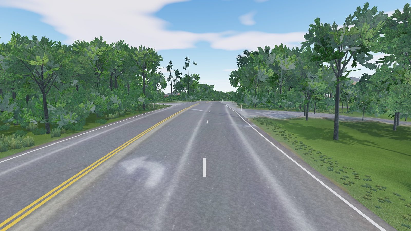
R-01US
Vale Rd to Lawyers Rd, Fairfax County, Virginia
Hunter Mill Road
Two kilometres of wide county road with turn lanes and six junctions.
- 1.98
- km
- 28m
- climb
- 7.3%
- max
- 8,847
- trees
Pick a start and a finish, anywhere up to 10 km apart. We build that stretch of road for your sim from public LiDAR, aerial photos and map data, with the houses and trees where they actually stand.
Starter $9.99 with your first road · Club $19.99 a month · you see the route before you pay
Hunter Mill Road, recorded in the browser preview
Every picture here is a frame from the 3D preview that comes with each order, or from RoadTwin Simulator. Open one and have a look around.
Two kilometres of wide county road with turn lanes and six junctions.
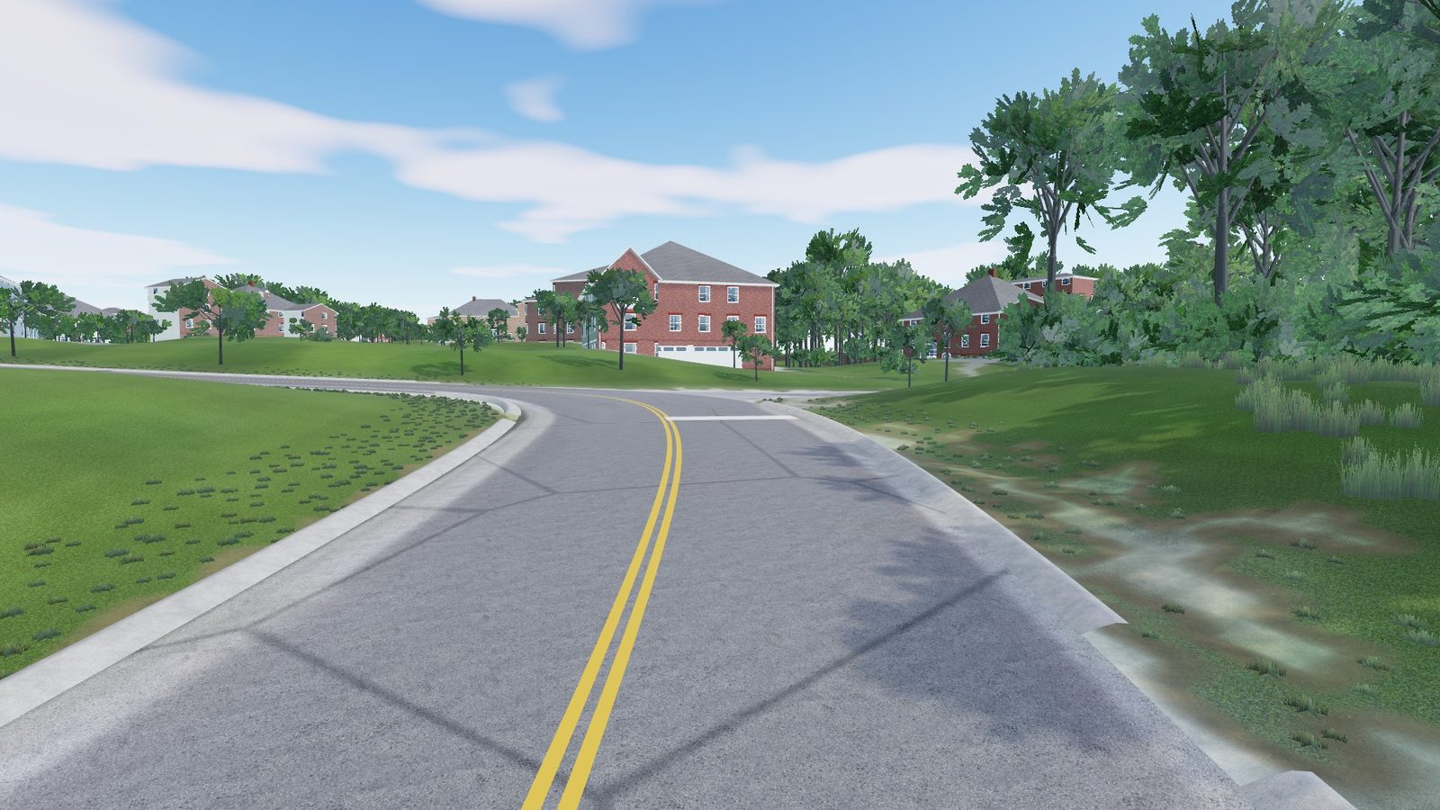
A quiet suburban street with four junctions, 66 houses and about 4,000 trees.
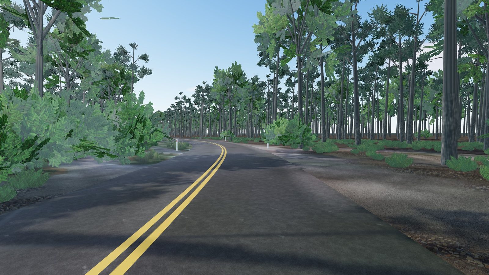
A flat, narrow two-lane road through the New Jersey Pine Barrens.
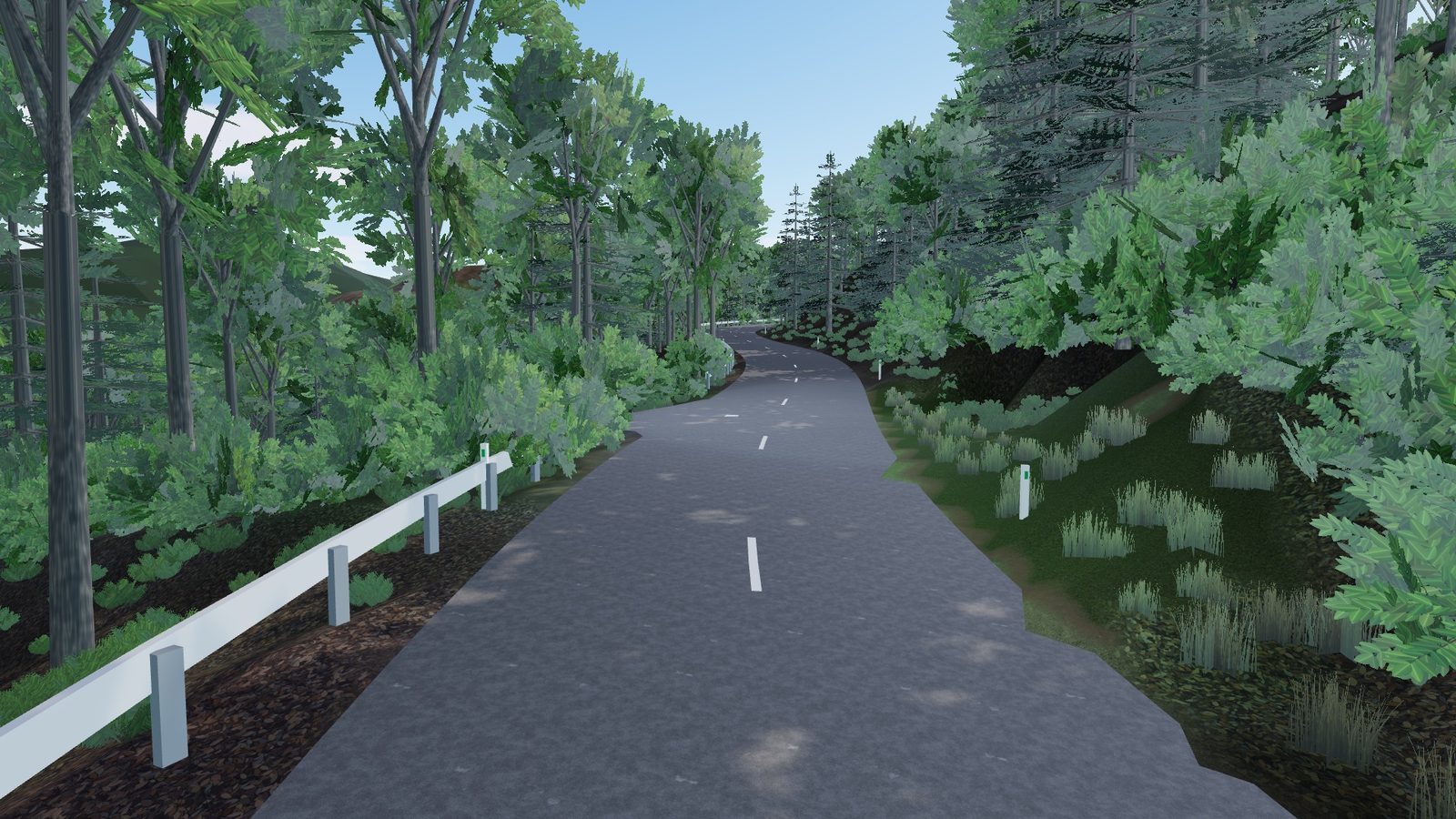
A wooded hill road in Gifu that climbs 69 metres in a kilometre.
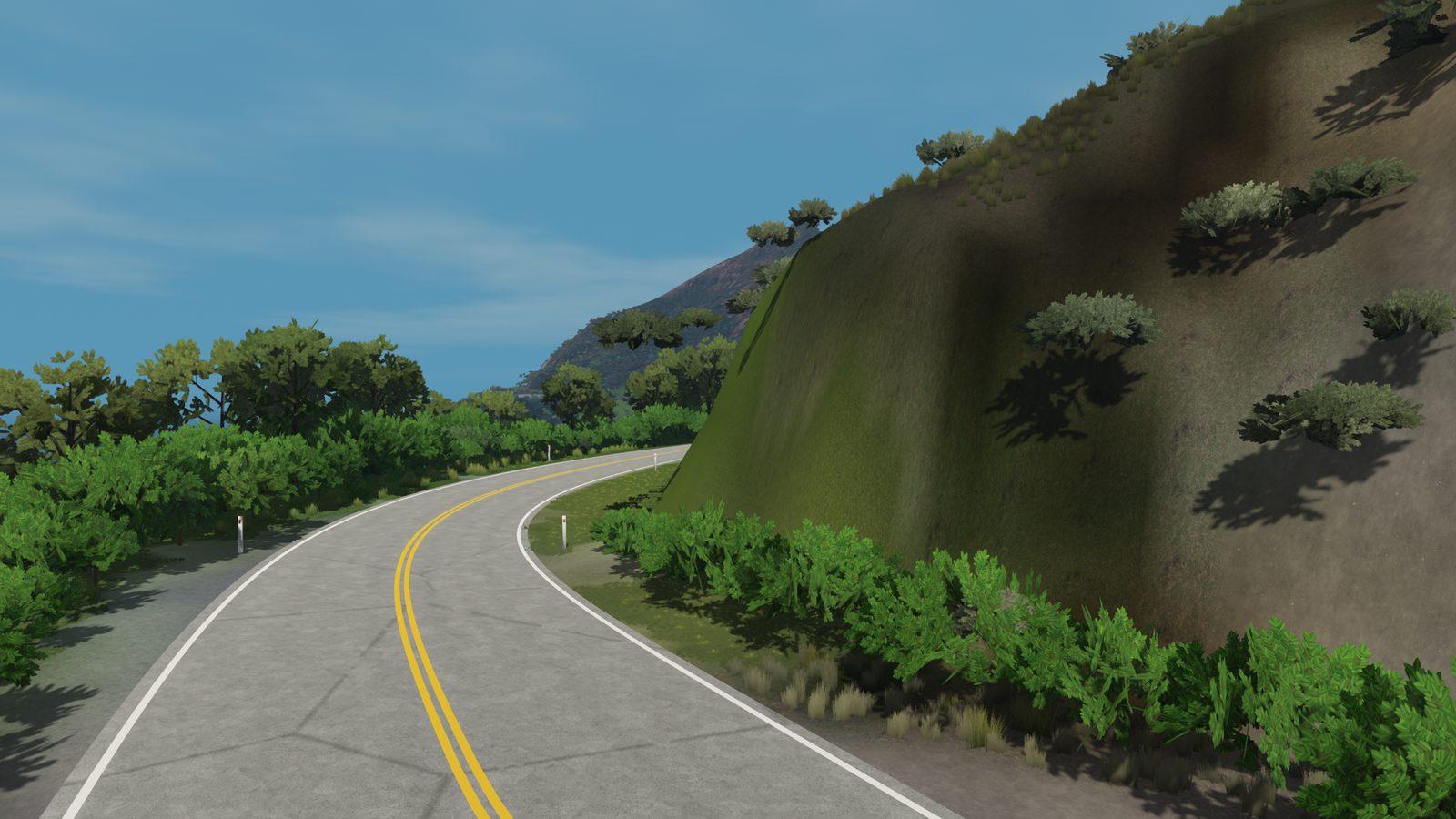
Ten kilometres of Highway 1 on the cliffs above the Pacific, climbing 250 metres along the way.
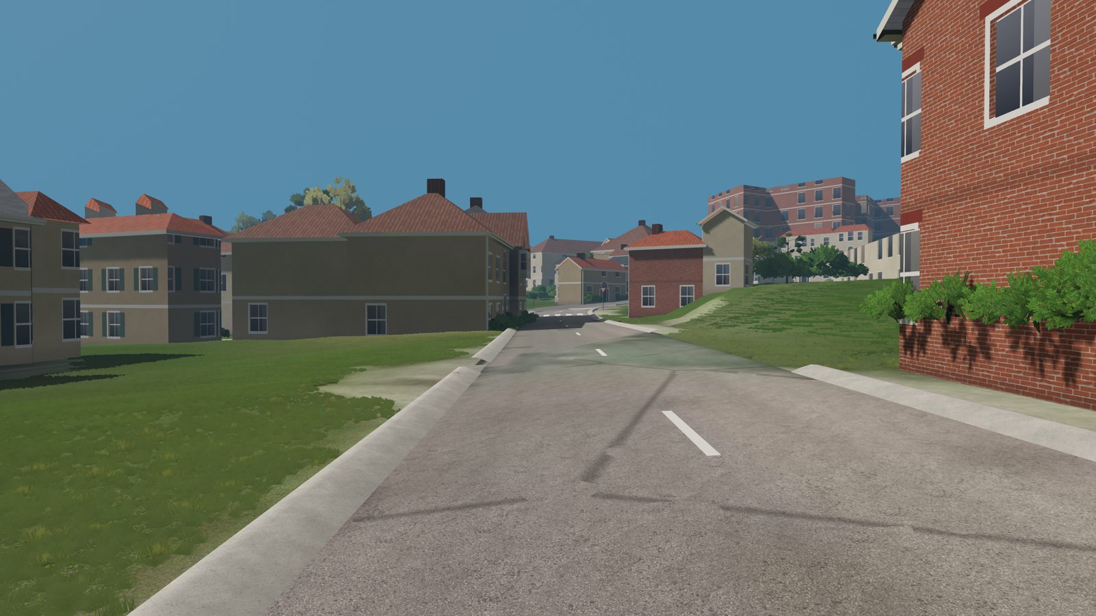
Nearly ten kilometres from a hill village down through vineyards and fields into town.
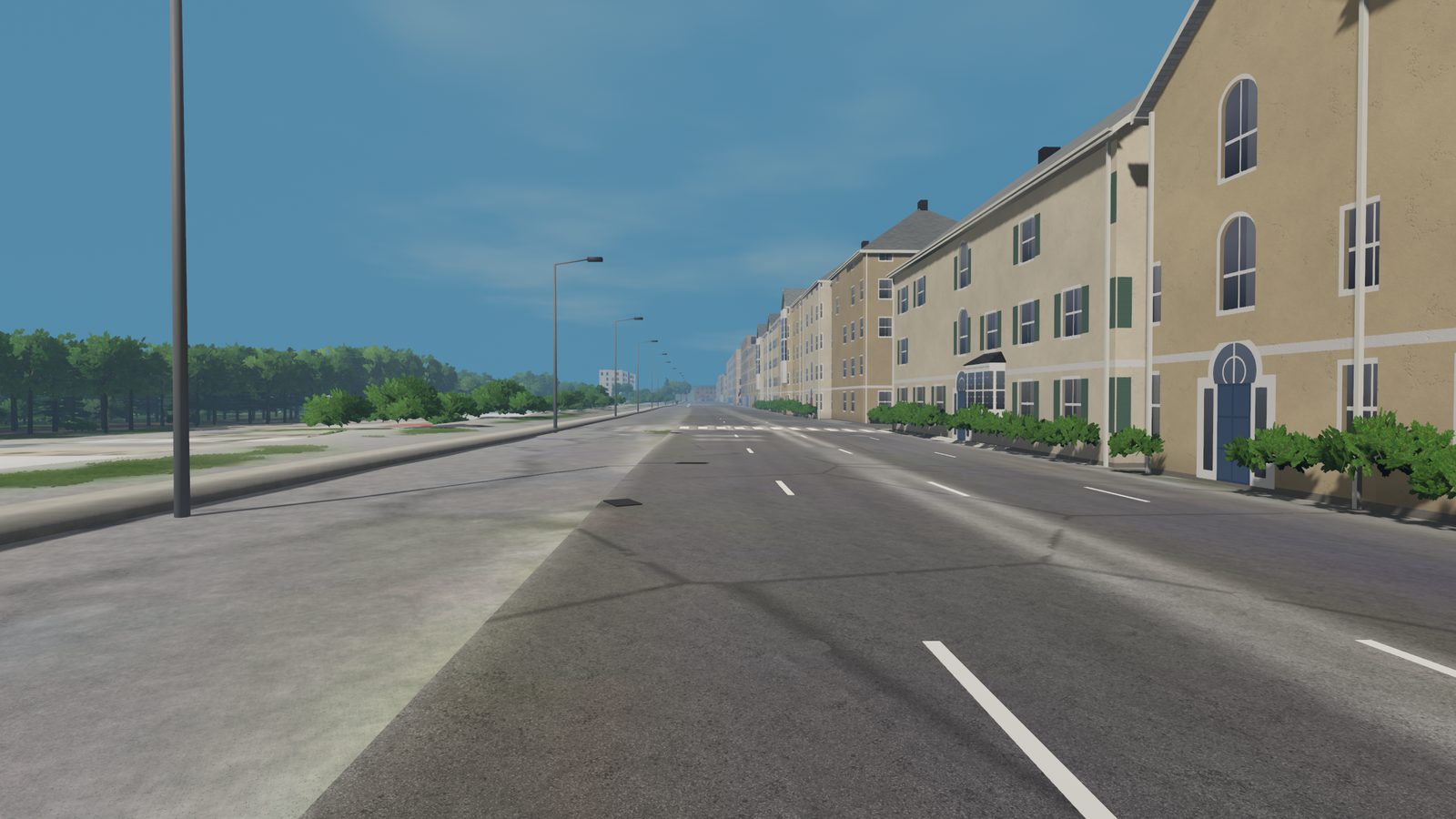
A kilometre of the Paris boulevard past the Louvre, between rows of tall stone buildings.
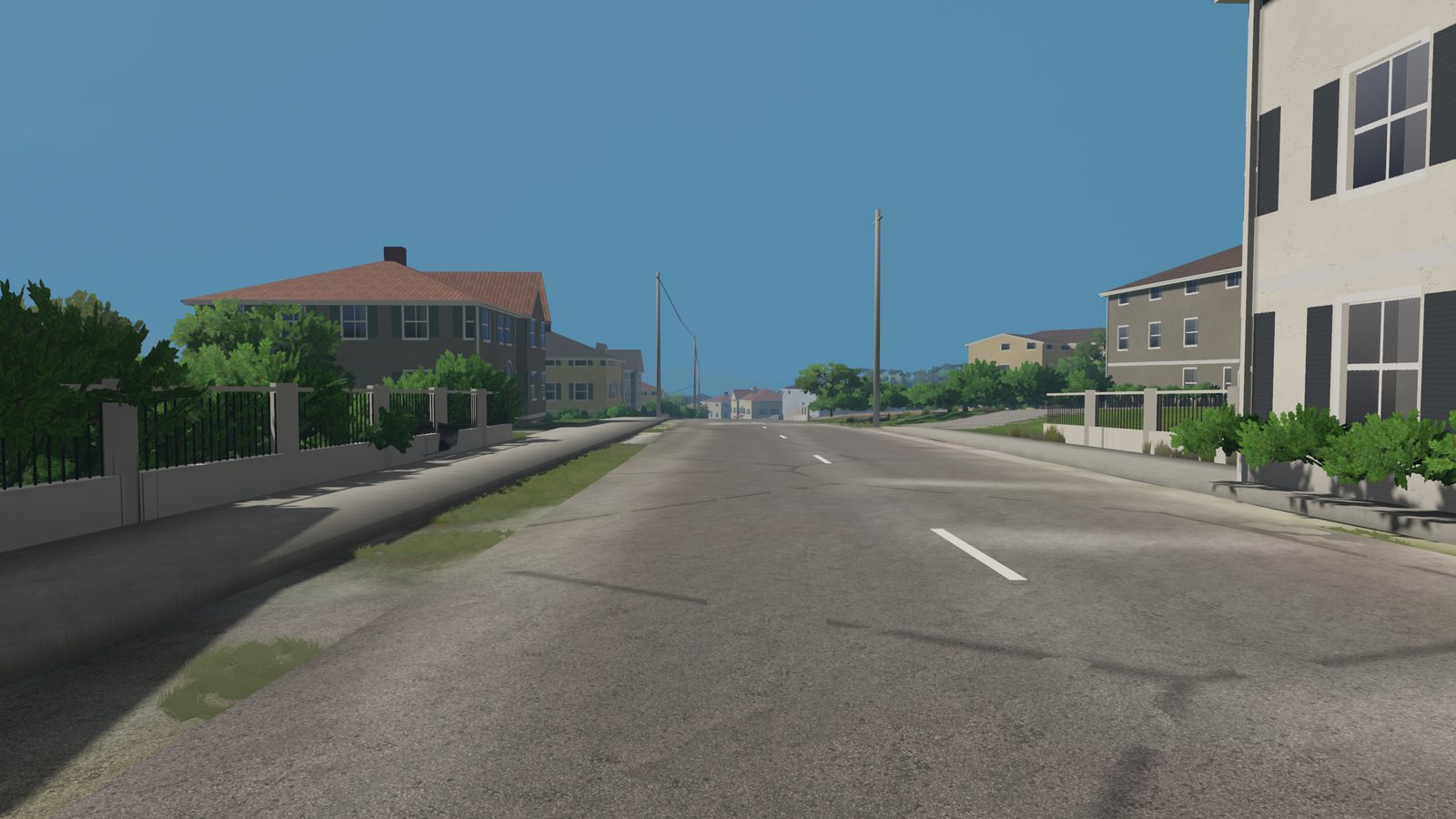
Three and a half kilometres of hill road through the villages and vineyards north of the Douro.
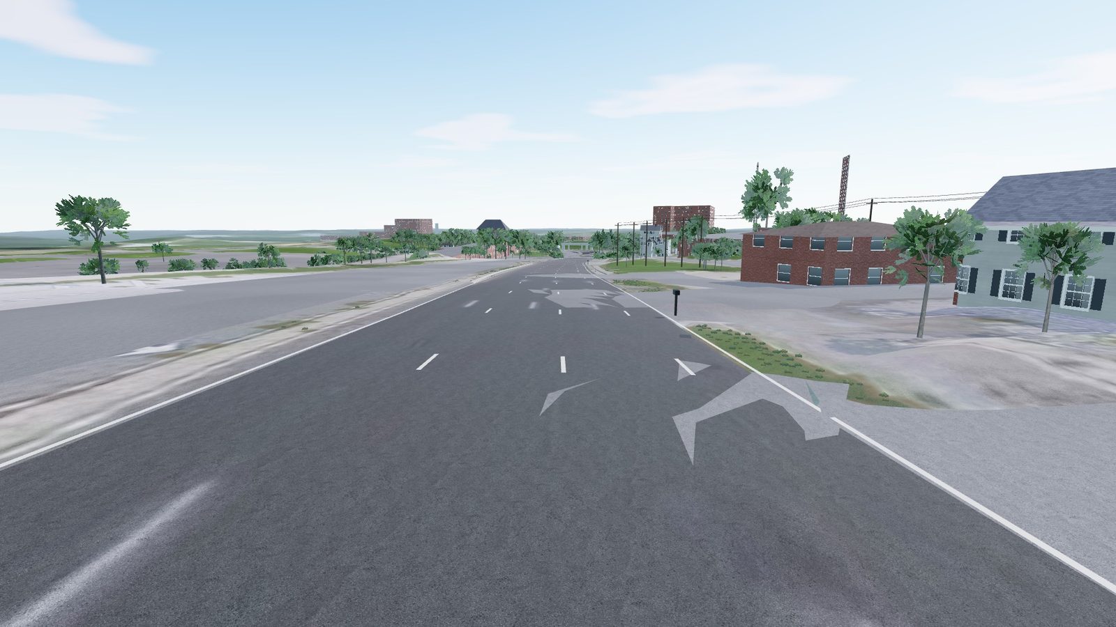
Two and a half kilometres of Route 123 under the Capital Beltway, with 16 junctions and grades to 11%.
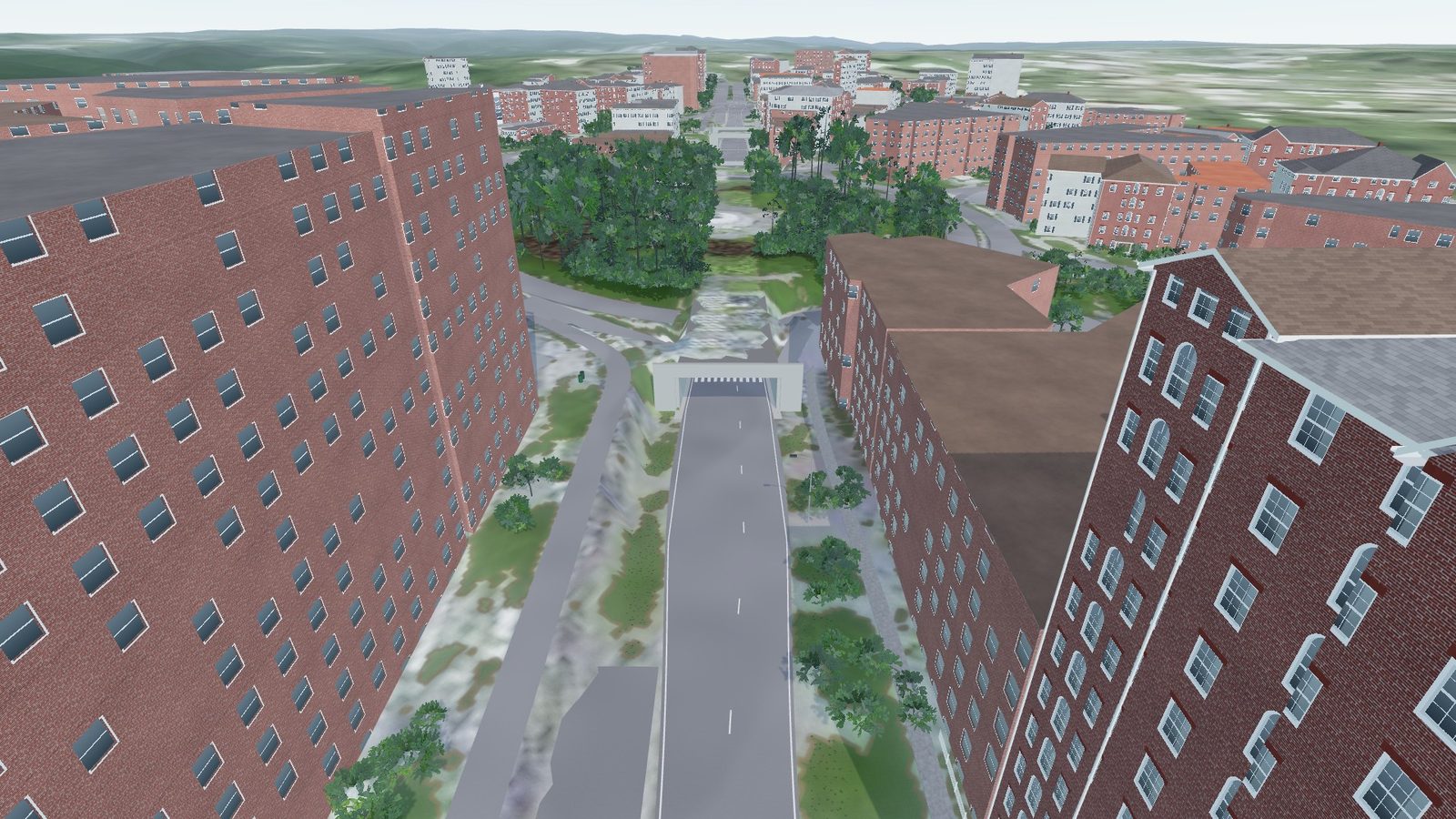
Connecticut Avenue under Dupont Circle: 200 metres of tunnel between rows of city houses.
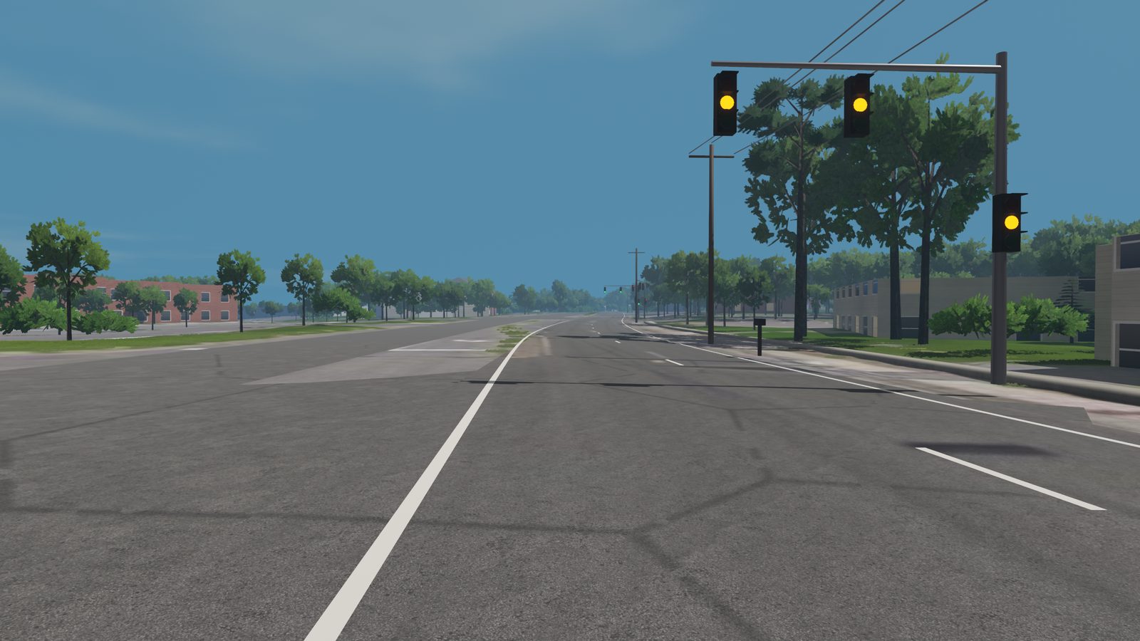
A short, busy stretch of Route 123 with six junctions and signals at Hunter Mill Road.
Race your own neighborhood, legally, with no ticket to fear. Or free-roam scenic roads around the world at your own pace. RoadTwin Simulator is where your roads come to life: force feedback, SimHub motion, day to night and four seasons.
Early build · work in progress
Left of the handle is the aerial photo of Oakton suburbs. Right of it is our build of the same ground, flown from the same spot. Drag it across and check the bends, the houses and the trees.
Open Oakton suburbs →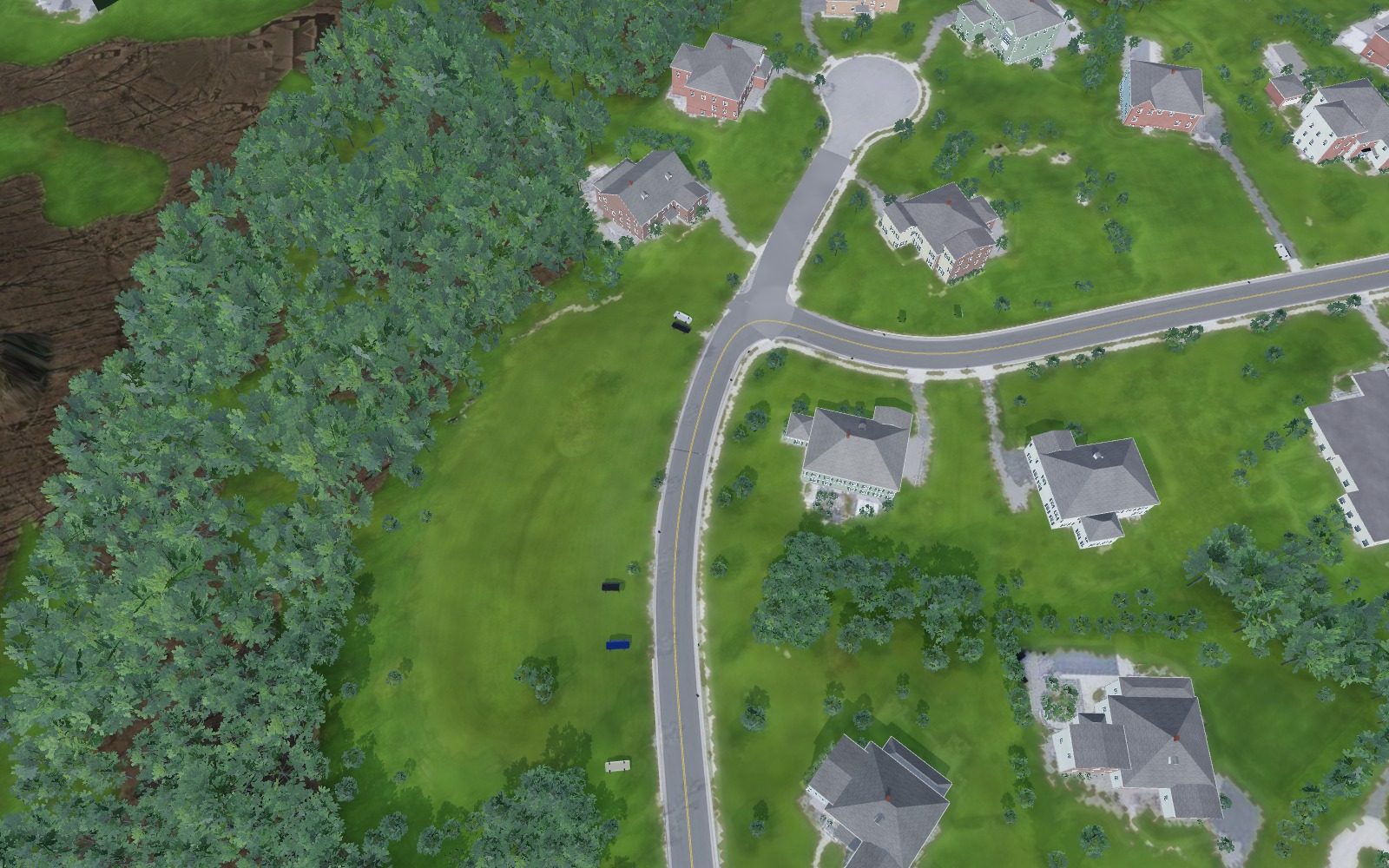
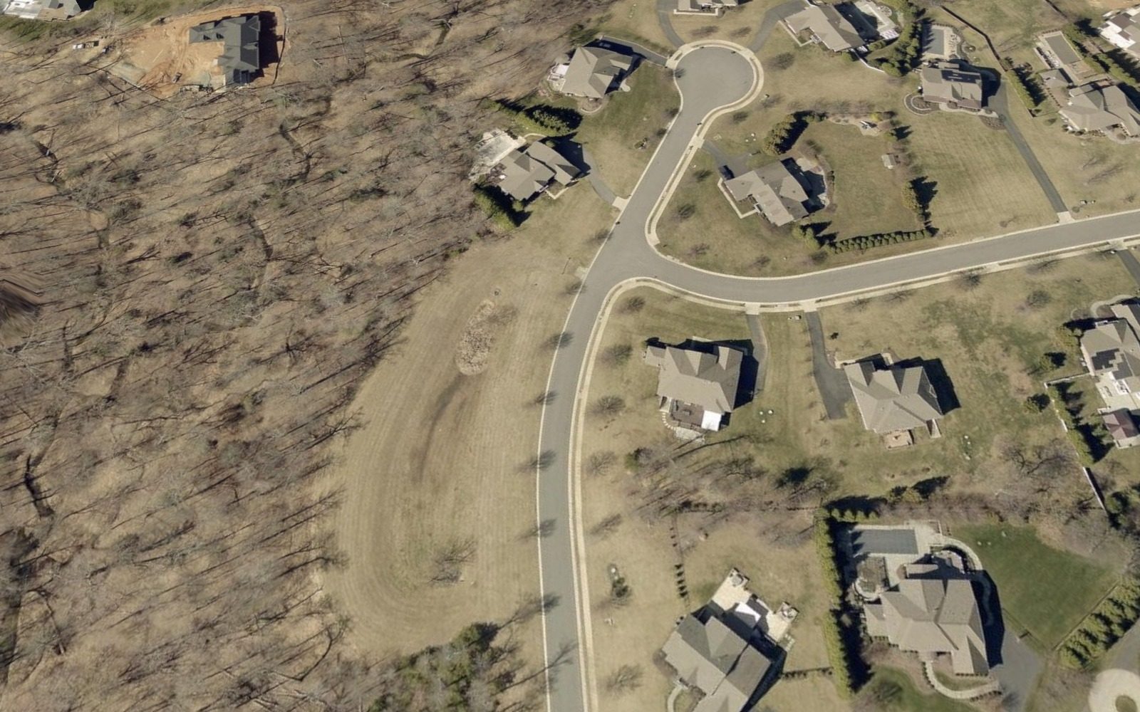
We tested another product's build of the same area and put it in the same scene as ours: same sun, same sky, same camera. Drag the handle and judge for yourself.
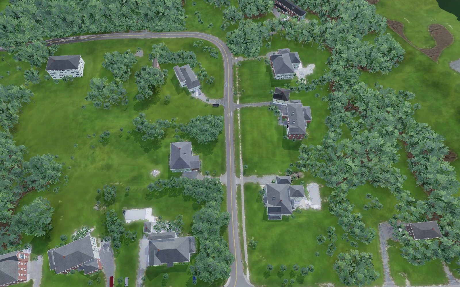
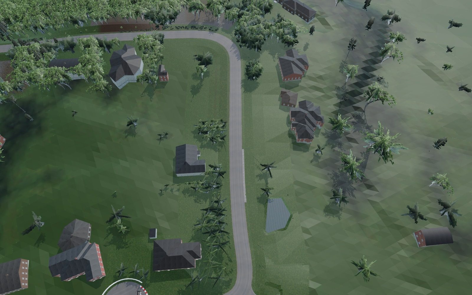
Both builds run in our viewer under the same sun, sky and camera. Their textures are recompressed for the web, their terrain shader is baked to plain colour and their shader-patch trees are placed from their own tree file; effects that need Assetto Corsa's shader patch at run time (GrassFX grass) can't run in a browser. The live view downloads about 22 MB.
We didn't expect you to take our word for it. So we tested another product's track of the same area as our own test road in Oakton, Virginia, and measured both against Fairfax County's LiDAR survey, one sample per metre along each lane. Then we put the same car and the same robot driver on both.
We did the same on Stage Road in New Jersey. Accuracy came out level there, with our surface about twice as smooth and identical lap times to the tenth: 55.2 seconds each.
Where they still look better: their lawns are tidier up close and their tree crowns look fuller from a distance. We're working on both.
Their track was converted with our own tools. Both road surfaces were sampled every metre along each lane and compared with USGS 3DEP and Fairfax County 1-metre LiDAR. Roughness is the RMS of vertical curvature, which is what you feel through the wheel as the car goes over facets in the mesh. Their scenery was viewed in our engine without their game's shader add-ons, so we don't compare looks with numbers, only geometry.
Type addresses or paste coordinates. We show you the exact route on an aerial photo, how long it is and what it costs. Nothing is charged until you check out.
The build server gathers elevation, imagery, buildings and trees for a strip around your road and puts the track together. Your order page shows each stage as it happens.
Look the result over in the 3D preview, download the zip, unzip it into the tracks folder and pick it in RoadTwin Simulator.
We use the best public data each place has. In much of the US that means 1-metre LiDAR and aerial photos sharp enough to read a stop bar. Elsewhere it's national and global datasets. Every track lists its sources.
The Starter is the simulator, both cars, the free roads and one road of your own up to 5 km, for $9.99 once. The Club is $19.99 a month: 50 km of new roads every month and every road in the library. If we can't build your road, you get your money back.
| Starter + road ≤ 5 km | $9.99 |
| Road ≤ 5 km | $9 |
| Road ≤ 10 km | $19 |
| Club, 50 km / month | $19.99 |
Any public road a car can legally drive between your two points, up to 10 km. One-way streets are followed in their legal direction. You see the route before you pay.
A few minutes for a short road. A long rural road in an area we haven't built before can take closer to an hour. We email you when it's done.
RoadTwin Simulator, which comes with the Starter and the Club. Unzip a road into its tracks folder and it shows up in the start menu.
Yes. Every finished order comes with the same 3D preview as the roads on this page.
The shape, elevation, width and junctions are measured. Buildings and trees sit where the data puts them and are about the right size, but they're drawn from a model library, so your neighbour's porch won't be there.
We look into it and try again. If your road can't be built, we refund you.